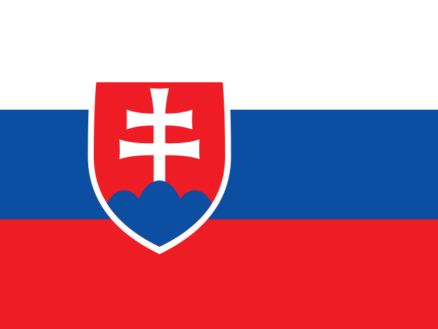
Slovakia is a landlocked country in Central Europe, bordered by the Czech Republic, Austria, Hungary, Ukraine, and Poland. It is known for its dramatic mountain landscapes, medieval castles, and rich folk traditions. The Carpathian Mountains dominate much of the country, offering excellent hiking and skiing.
- Capital
- Bratislava
- Continent
- Europe
- Region
- Central Europe
- Area
- 49,037 km²
- Coordinates
- 49° N, 20° E
- Languages
- Slovak
- Currency
- EUR €
- Domain
- .sk
- Calling code
- +421
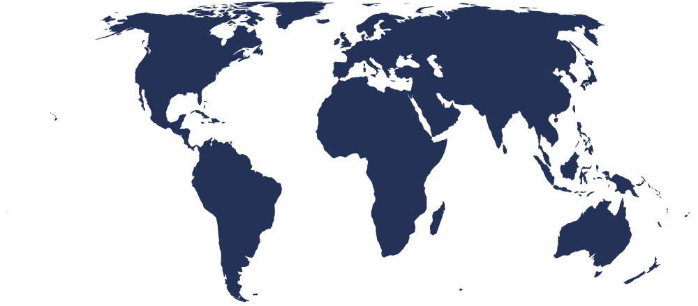
On the world map
Bordering countries
 Austria
 Czechia
 Hungary
 Poland
 Ukraine
Country facts
- Slovakia became an independent country on 1 January 1993 when Czechoslovakia peacefully split into two nations in an event known as the Velvet Divorce.
- The country is home to nine UNESCO World Heritage Sites, including the historic town of Banská Štiavnica and the Vlkolínec folk village.
- Slovak, the official language, is a Slavic language closely related to Czech and mutually intelligible with it to a large degree.
- Slovakia has more castles and castle ruins per capita than almost any other country in Europe, with over 180 scattered across its landscape.
- The High Tatras, part of the Carpathian range, are the highest mountains in Slovakia and home to Gerlachovský štít, the tallest peak at 2,655 metres.
Capital facts
- Bratislava sits on the Danube River and is the only national capital in the world that borders two other countries, Austria and Hungary.
- Bratislava Castle, a prominent fortress overlooking the city, dates back to the 9th century and was rebuilt in its current form in the 18th century.
- From 1563 to 1830, Bratislava — then known as Pressburg — served as the coronation city for Hungarian kings and queens.
- The city's Old Town features the charming Čumil statue, a bronze figure of a man peering up from a manhole, which has become a beloved local landmark.
- Bratislava is one of the smaller capital cities in the European Union by population, giving it a compact, walkable historic centre.