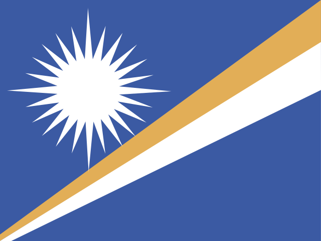
The Marshall Islands is a sovereign nation in the central Pacific Ocean, made up of 29 coral atolls and 5 islands scattered across a vast stretch of ocean. It is known for its stunning turquoise lagoons, rich World War II history, and deep connection to traditional Micronesian seafaring culture. The country faces serious challenges from rising sea levels, which threaten its low-lying land.
- Capital
- Majuro
- Continent
- Oceania
- Region
- Micronesia
- Area
- 181 km²
- Coordinates
- 9° N, 168° E
- Languages
- English, Marshallese
- Currency
- USD $
- Domain
- .mh
- Calling code
- +692
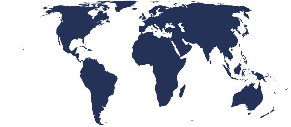
On the world map
Bordering countries
No land borders — this is an island nation.
Country facts
- The Marshall Islands was the site of extensive US nuclear weapons testing between 1946 and 1958, including the famous Bikini Atoll tests.
- Marshallese navigators traditionally used stick charts — intricate frameworks of sticks and shells — to map ocean currents and island positions.
- The country gained independence from US administration in 1986 under a Compact of Free Association with the United States.
- Marshallese and English are both official languages of the country.
- No point in the Marshall Islands rises more than about two meters above sea level, making it one of the lowest-lying nations on Earth.
Capital facts
- Majuro Atoll is a narrow ring of land enclosing one of the largest lagoons in the Pacific Ocean.
- The city serves as the main commercial and government hub of the Marshall Islands, hosting the national parliament known as the Nitijela.
- Majuro's harbor is a significant stop for fishing fleets operating across the central Pacific.
- The Marshall Islands Resort on Majuro is a well-known landmark and gathering place for visitors and locals alike.
- Delap, Uliga, and Djarrit are the three main districts that together form the urban core of Majuro, sometimes collectively called D-U-D.