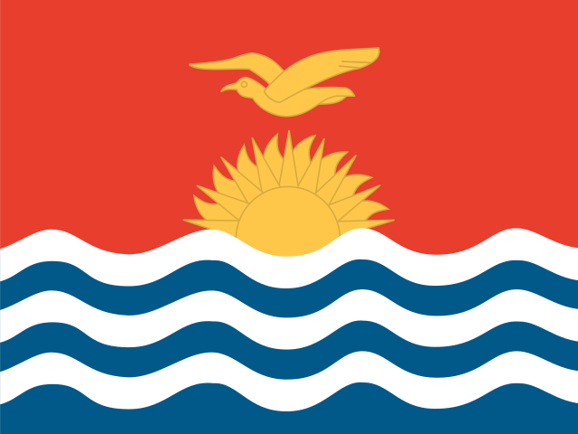
Kiribati is a Pacific island nation made up of 33 atolls and reef islands scattered across the central Pacific Ocean, straddling both the equator and the International Date Line. It is known for its remote, pristine coral environments and as one of the countries most vulnerable to rising sea levels. The nation's vast ocean territory gives it one of the largest exclusive economic zones in the world.
- Capital
- South Tarawa
- Continent
- Oceania
- Region
- Micronesia
- Area
- 811 km²
- Coordinates
- 1° N, 173° E
- Languages
- English, Gilbertese
- Currency
- AUD $, KID $
- Domain
- .ki
- Calling code
- +686
On the world map
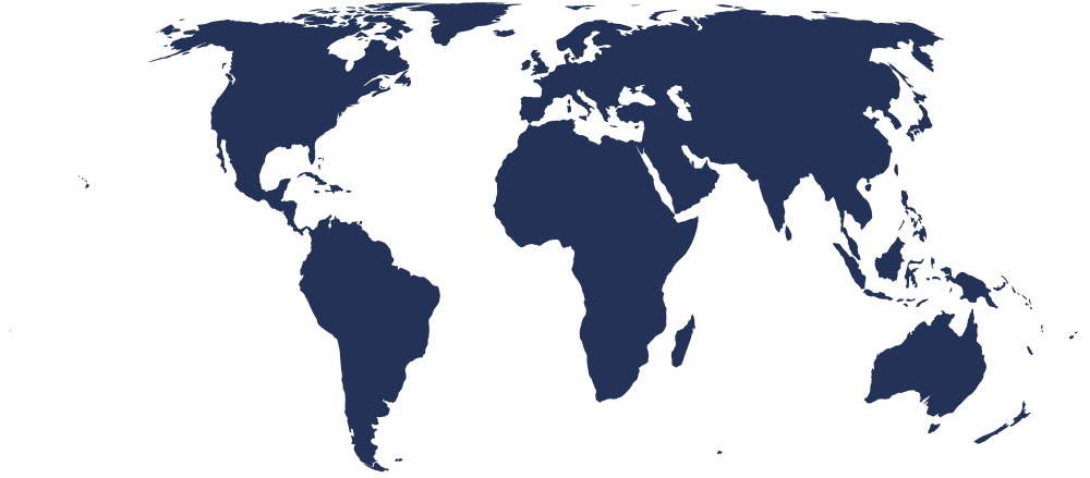
Bordering countries
No land borders — this is an island nation.
Country facts
- Kiribati gained independence from Britain in 1979, making it one of the newest nations in the Pacific.
- The country's name is pronounced 'Kiribas' because the Gilbertese language treats 'ti' as an 's' sound.
- Kiribati spans three island groups: the Gilbert Islands, the Phoenix Islands, and the Line Islands.
- The Phoenix Islands Protected Area is one of the largest marine protected areas on Earth.
- Traditional Kiribati culture places great importance on the maneaba, a communal meetinghouse used for gatherings and decision-making.
Capital facts
- South Tarawa is a densely populated urban atoll situated on the southern rim of Tarawa Atoll.
- The Battle of Tarawa in 1943 was one of the fiercest engagements of the Pacific theater during World War II.
- South Tarawa is connected by a series of causeways linking several small islets together.
- The capital hosts the main government buildings, national hospital, and the country's principal secondary schools.
- Betio, a islet within South Tarawa, serves as the main port and commercial hub of Kiribati.